Field Directions · print before you leave town
Getting here.
The drive is half the unplugging. Andrews is your last stop for signal, gas, and groceries — after that, it's the map in your hand and the road in front of you.
Field Directions · print before you leave town
The drive is half the unplugging. Andrews is your last stop for signal, gas, and groceries — after that, it's the map in your hand and the road in front of you.
Cell service ends shortly after you leave Andrews and head up Junaluska Road — well before the cabin. Print this page or screenshot it before you leave town. GPS will get you to Andrews; this sheet gets you the rest of the way.
Top off the tank, grab groceries, download your music and maps. If you need anything from the modern world, Andrews is where you get it. Main Street has coffee and a butcher; the Andrews Chamber keeps a list of what's open and what's on.
From Andrews, take Junaluska Road up out of the valley. The road climbs and winds — beautiful, paved, and slower than the map thinks. Your bars will fall off one by one. That's the unplugging starting early.
At the gate, punch in the code from your arrival letter. From here the speed limit is 15 — strictly kept, and worth keeping; the road is shared with neighbors, dogs, and the occasional deer that thinks it owns the place.
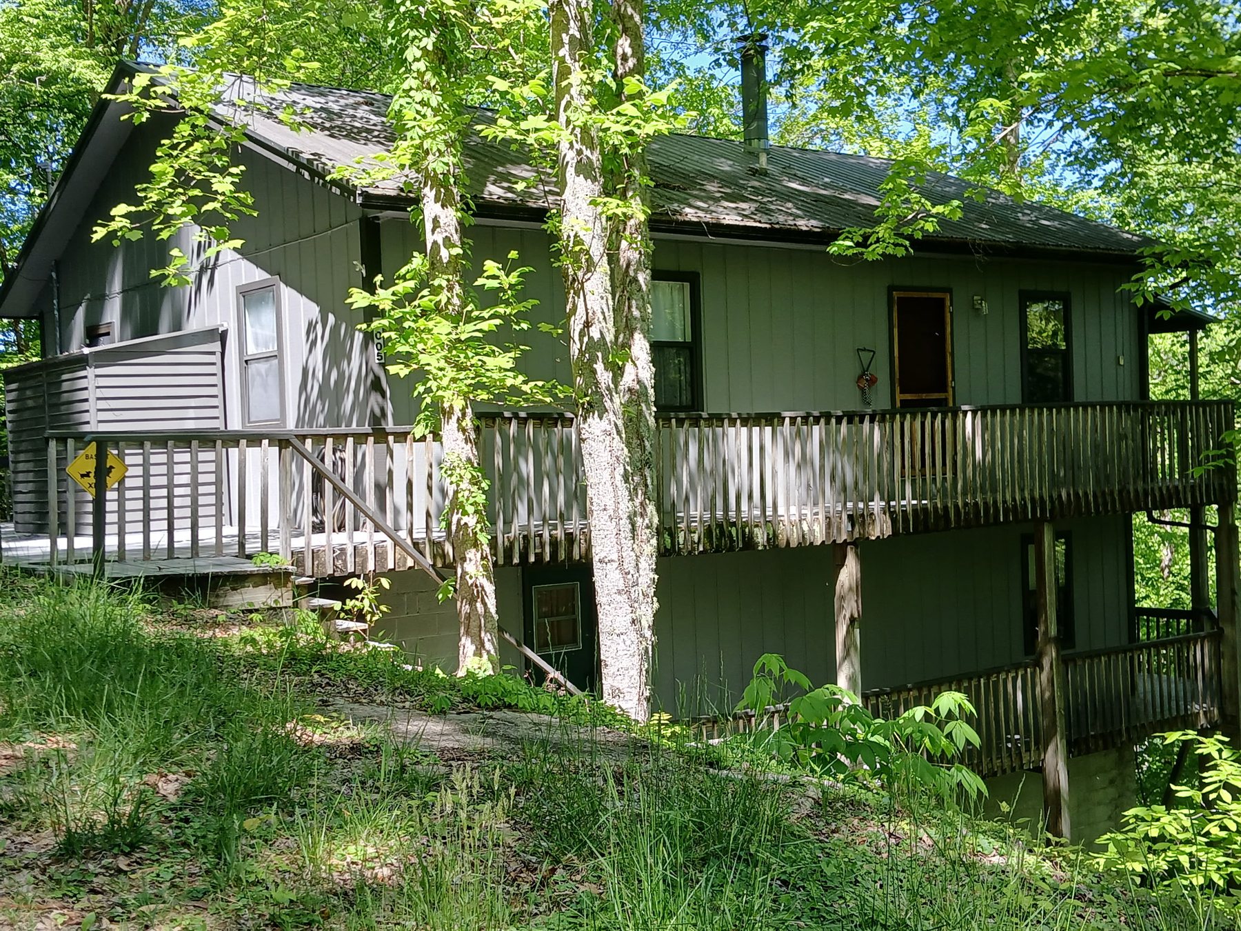
Follow the community road up the rise. The cabin sits on the right side of the road — green siding, wraparound deck, a small "Basset Xing" sign by the steps. Park in the gravel pull-in. The door code from your letter works the moment your stay begins.
Don't burn daylight hunting for bars. Head back down toward Andrews until signal returns — usually within the first stretch of Junaluska — and call us. Better yet: print this sheet and hand it to your navigator before you leave town.
The community keeps exterior lighting low by design, and the gravel sounds different at night. Take the last stretch slow. The porch light will be on for you — it's the only one you'll see.